
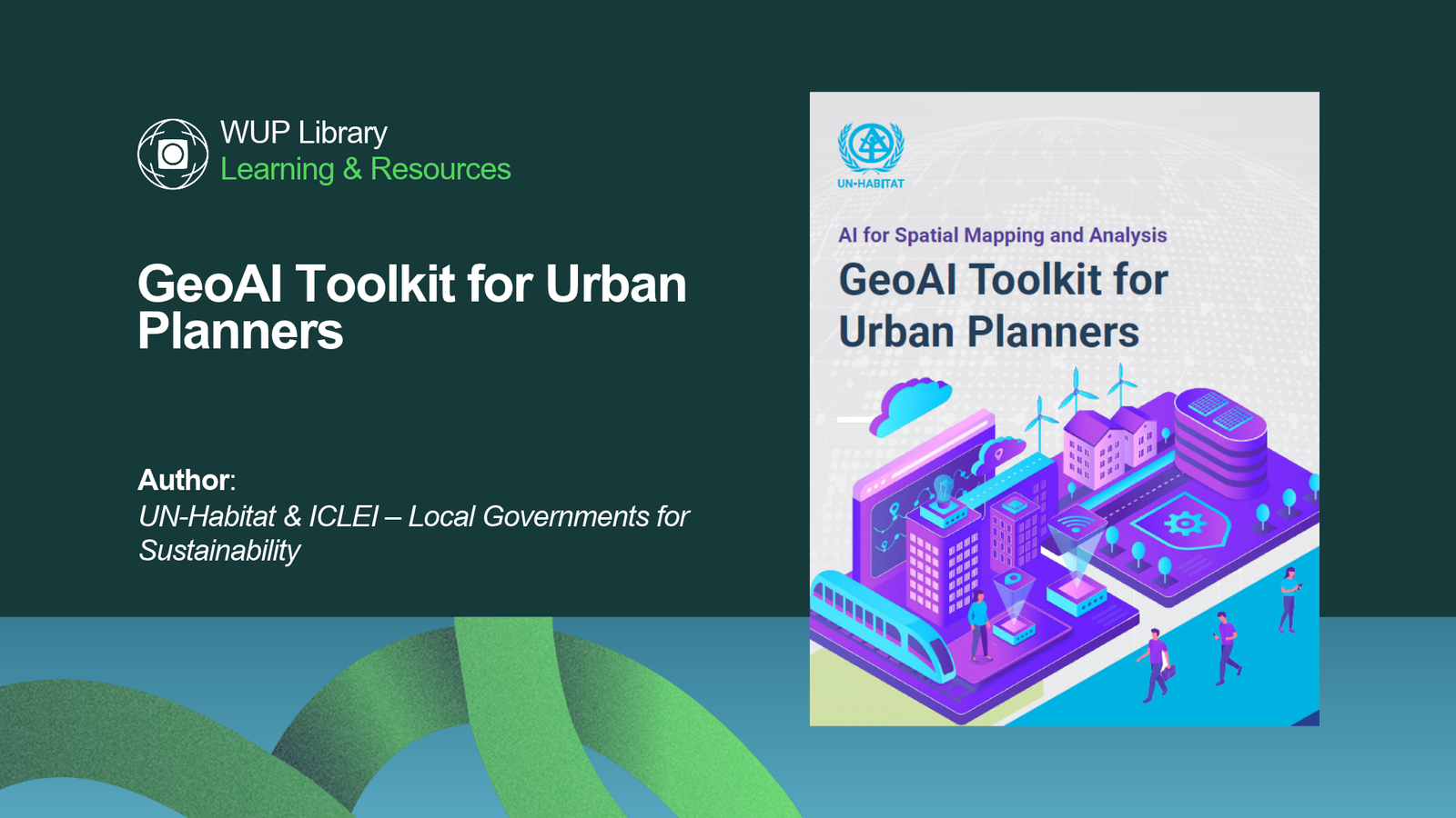
What if city maps could do more than show what exists—and help reveal what is changing, where risks are growing, and where action is needed most?
GeoAI Toolkit for Urban Planners introduces the use of geospatial artificial intelligence to transform complex spatial data into practical insights for planning, infrastructure, mobility, climate resilience, public services, and urban governance. It offers a clear pathway for cities to move from data collection to more informed, people-centred decisions.
The toolkit explores real-world applications, from mapping informal settlements and detecting illegal waste sites to forecasting mobility demand, assessing climate vulnerability, and monitoring parks through digital twin technology. Most importantly, it reminds planners that AI should strengthen—not replace—local knowledge, professional judgment, and community participation.
Interesting fact: In eThekwini, South Africa, the BEAM GeoAI tool reduced the time needed to map building footprints from months to just 72 hours, helping planners identify and understand urban growth more quickly.
Download the full article here👇
¿New here?
Start your 30-day free trial and explore all the benefits of World Urban Parks membership
Already a member? Just log in to your account.

With guidance on data quality, ethics, privacy, risk management, prototypes, and long-term scaling, this resource helps urban professionals adopt GeoAI responsibly and with purpose.
Join World Urban Parks to access global resources, discover emerging tools, and connect with professionals shaping smarter, more resilient, and people-first cities.


