


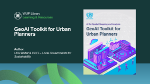
GeoAI Toolkit for Urban Planners
What if city maps could do more than show what exists—and help reveal what is changing, where risks are growing, and where action is needed
What if city maps could do more than show what exists—and help reveal what is changing, where risks are growing, and where action is needed

Can a machine help us design for the people a plan usually forgets? This guide makes an honest case that it can — as long

GIS and Spatial Analysis for Urban Practitioners is a hands-on, practice-driven guide that empowers urban planners, designers, architects, and policymakers to use geospatial tools with


Level 1 29 Brandon Street
Wellington 6022, New Zealand
📞 +1 780 644 6976